NCEM Advisory Flood Map and Mitigation Information Portal
The North Carolina Floodplain Mapping Program (NCFMP) has initiated the “Advisory Flood” studies approach to provide non-regulatory flood hazard mapping for previously unmapped portions of the state, and for areas beyond NCFMP’s traditional regulatory floodplain mapping extents, to help support more citizens in their decision making processes to mitigate against flood hazards.
- Provide non-regulatory, multi-recurrence, Advisory Floods hazard mapping for previously unmapped areas in the state
- Provide structure-specific flood hazard risk information for buildings impacted by Advisory Floods
- Provide possible mitigation alternatives for buildings impacted by Advisory Floods
- Communicate non-regulatory, Advisory Flood information, in a separate distinct website than that of NCFMP’s regulatory flood hazard platforms, Flood Risk Information System (FRIS), and flood.nc.gov
Advisory Flood
Advisory Flood Mitigation Application
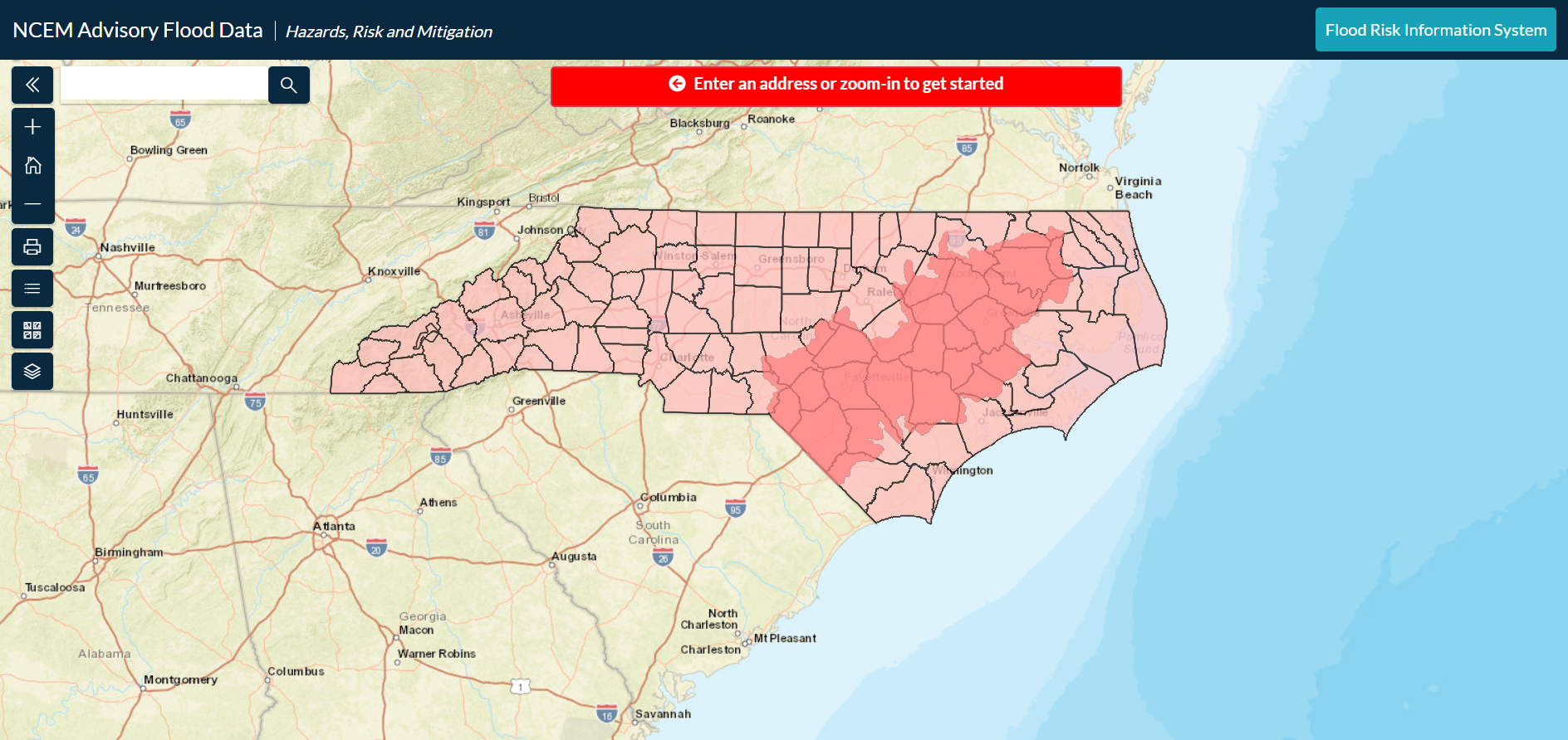
The North Carolina Floodplain Mapping Program (NCFMP), performs flood hazard mapping studies that help inform, protect, and preserve the lives and properties of the citizens in North Carolina. Recent flooding events have shown that substantial flood risk can reside outside of NCFMP’s traditional regulatory floodplain boundaries. NCFMP’s Advisory Flood Data Website provides flood mapping visualizations and flood risk analyses in non-regulated Advisory Flood areas where these products were previously unavailable. Flood hazard information, risk assessments, and mitigation strategies are offered within this viewer as a tool to help create more resilient communities and reduce future losses due to flooding. The website provides an easy to use interface to enable the user to assess a range of Advisory flooding scenarios, their associated flood risks, potential damages, and possible mitigation alternatives. In addition, areas of mitigation interests data are Identified and communicated as a part of a study wide “hot spot” grid to pinpoint areas of concentrated Advisory Flood risk and potential locations for future mitigation actions. Regulatory floodplain information is provided as a static overlay within the Advisory Flood Data Website. Users that click within those regulatory overlay areas will be directed to NCFMP’s FRIS website for higher level regulatory flood information.
Advisory Flood Program
Mailing Address
4218 Mail Service Center Raleigh, NC 27699-4218
Phone:919-715-5711
Email: [email protected]