FIMAN Mission
FIMAN Mission
To provide rain and stage gauge data, flood inundation maps, flooding impacts and alerts in real-time to support risk-based decisions regarding flooding.
FIMAN Goals
- Gather and distribute reliable and accurate rain and stage gauge data
- Provide real-time flood inundation maps and alerts
- Provide better information about flooding risks and impacts
- Prevent and reduce the loss of lives and property
NC FIMAN (Flood Inundation Mapping Network)
FIMAN provides real-time data on stream elevation, rainfall and weather parameters from over 700 gauges across North Carolina. Some sites may be rain or stage gauges only while some may have weather data available. Many of these gauges are managed by the Division of Emergency Management (NCDEM) while some are operated by local government agencies and private organizations. Additionally, gauges from the U.S. Geological Survey are included in this network.
Link to NC FIMAN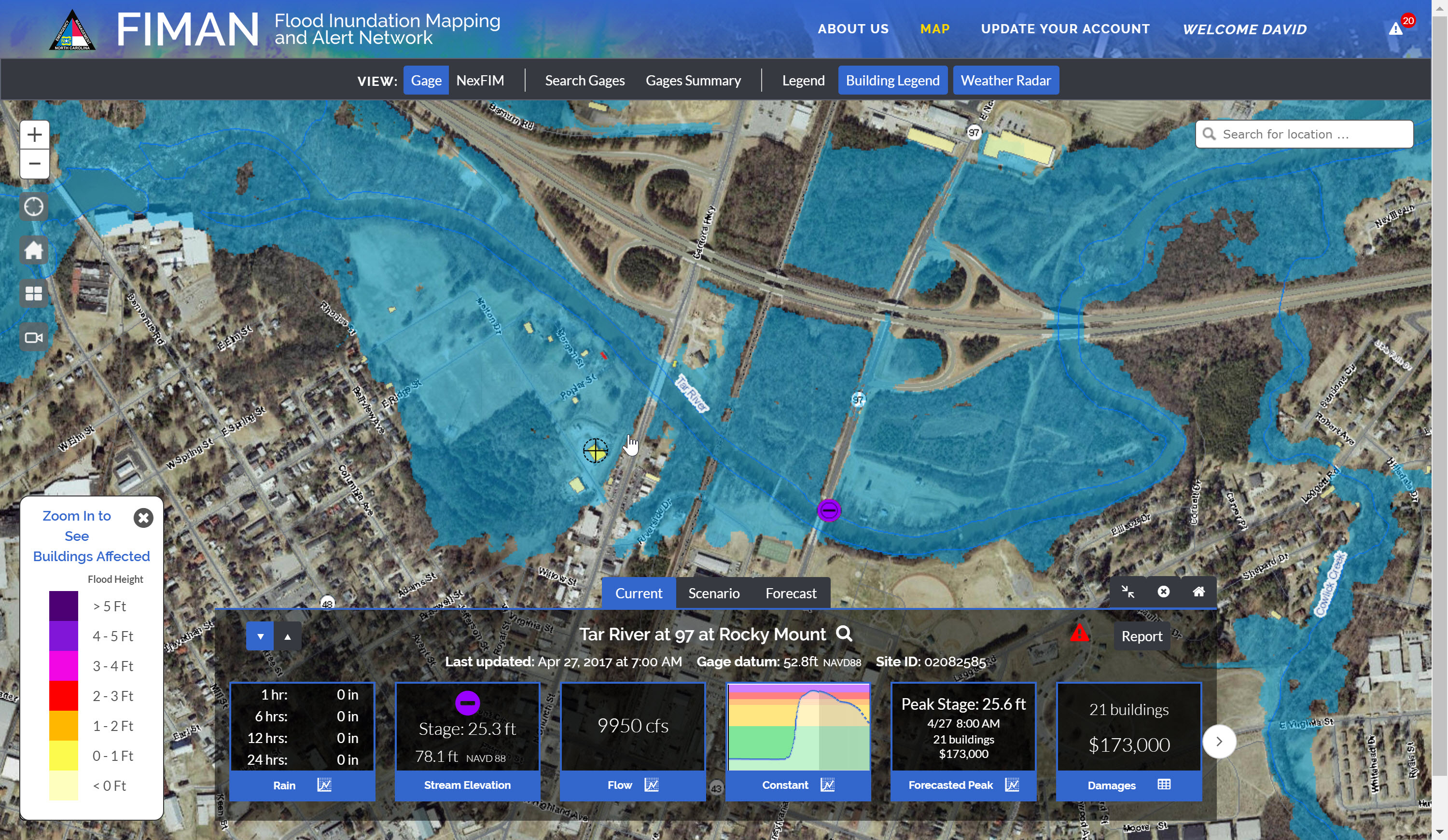
FIMAN Contact
NC Floodplain Mapping Program
4105 Reedy Creek Drive
Raleigh, NC 27607
Mailing Address
4218 Mail Service Center
Raleigh, NC 27699-4218
Phone: (919) 715-5711
Fax: (919) 715-0408
Email: [email protected]